Charleston, WV — A powerful cold front is set to sweep through West Virginia from Sunday night into Monday, bringing the potential for damaging winds, heavy rain, and isolated thunderstorms.
The National Weather Service in Charleston has placed much of the state under a Slight Risk (Level 2 of 5) for severe weather, with the most significant impacts expected between Sunday evening, March 30, and Monday evening, March 31. Areas including Charleston, Huntington, Parkersburg, and Elkins are likely to experience strong winds, scattered storms, and possible hail, with the potential for isolated tornadoes.
What to Expect
Storm activity is expected to begin as scattered showers on Sunday, gaining intensity overnight as the front moves through. Residents in northern and central West Virginia—particularly around Parkersburg and Clarksburg—face the greatest risk for high winds and storm-related damage.
Also Read – Seatbelt Violation Leads to Arrest After I-79 Crash Ejects 2 Children
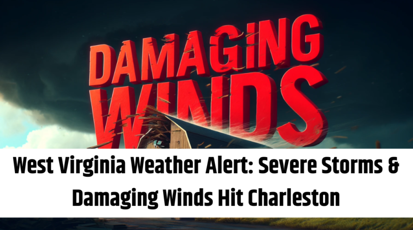
Potential Hazards
-
Damaging winds that could knock down trees and power lines
-
Heavy rain leading to localized flooding
-
Hail and isolated tornadoes in some areas
-
Travel delays and power outages
Stay Prepared
Officials are urging residents to stay weather-aware, secure loose outdoor items, and have multiple ways to receive emergency alerts. The severe weather risk will taper off Monday night as the system moves east, making way for cooler, drier conditions on Tuesday .