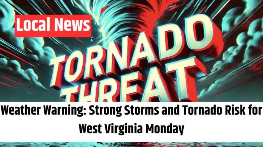
Charleston, WV — A strong round of severe weather is on track to sweep across West Virginia late Monday, bringing the threat of damaging winds, large hail, and even isolated tornadoes, forecasters warn.
The National Weather Service in Charleston reports that a powerful cold front will move through the area, sparking widespread thunderstorms beginning Monday afternoon and lasting into the evening hours. The most severe weather is expected to impact the northern portion of the state.
Central and northern West Virginia are currently under a marginal to slight risk for severe storms. Officials advise residents to remain alert as weather conditions may deteriorate quickly. Monday is expected to be warm and windy, with afternoon highs climbing into the 70s across lower elevations before temperatures plummet on Tuesday behind a secondary cold front.
Also Read – ‘Education West Virginia’: New Union Formed as WV Teacher Groups Merge
Tuesday will usher in cooler, unsettled conditions with gusty winds, overcast skies, and the possibility of lingering showers. High temperatures will struggle to get out of the 50s. By Wednesday, the system will have cleared, bringing more stable weather, though early-morning frost could develop in some of the higher terrain valleys.
Residents are urged to stay tuned to NOAA Weather Radio, mobile alerts, or local broadcasts for the latest warnings and advisories. Power outages are possible, and travel may become hazardous Monday evening, so precautionary measures—such as securing loose outdoor items—are strongly recommended.